

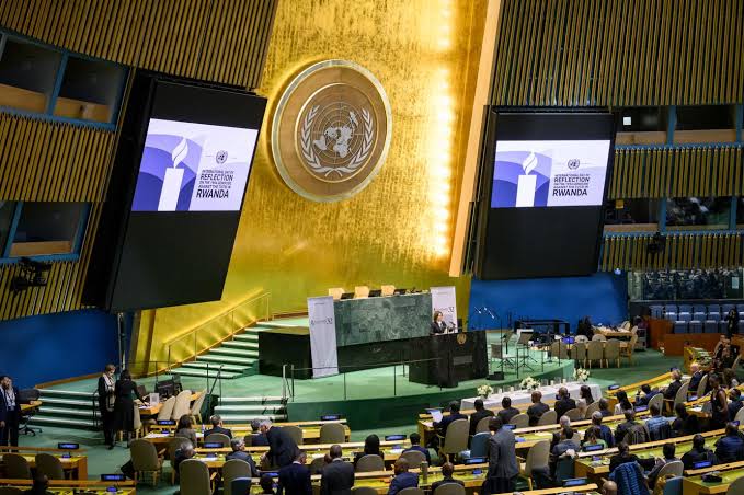
The United Nations General Assembly has endorsed a resolution calling for greater use of world maps that more accurately represent the actual size of continents, particularly Africa.
The resolution, spearheaded by Togo and backed by the African Union, was approved on September 4, 2026, with 164 countries voting in favour. The United States was the only country to vote against the measure, while six countries abstained.
At the centre of the initiative is the Equal Earth projection, a map design intended to provide a more accurate visual representation of the relative sizes of the world’s landmasses.
For centuries, the widely used Mercator projection has shaped how people view the world. Although useful for navigation, the projection significantly exaggerates the apparent size of regions located farther from the Equator, while making equatorial regions such as Africa appear relatively smaller.
Why Africa Looks Smaller on Traditional World Maps
One of the most striking examples of map distortion involves Africa and Greenland.
Although they can appear relatively similar in size on some traditional rectangular world maps, Africa is approximately 14 times larger than Greenland in actual land area.
Africa covers about 30.3 million square kilometres, making it one of the world’s largest continental landmasses. Its enormous size means it could accommodate the United States, China, India and much of Europe within its territory.
The Equal Earth projection seeks to provide viewers with a visual representation that is much closer to these actual proportions.
Togo Leads African Push for a More Accurate Map
The campaign was spearheaded by Togo on behalf of African countries and received backing from the African Union.
Supporters argue that maps are not merely geographical tools; they also influence how people understand the relative importance, size and position of different regions around the world.
Togo’s initiative therefore seeks to encourage governments, schools, international organisations and technology companies to consider more accurate projections when producing educational and public-facing maps.
What the UN Resolution Means
The UN decision does not mean that the Mercator projection has been officially banned or that every existing world map must immediately be replaced.
Instead, the resolution encourages the gradual adoption of projections such as Equal Earth that provide a more accurate representation of continental land areas. The measure is non-binding. The Mercator projection is also expected to remain useful in areas such as maritime navigation because of its particular technical advantages.
The voting result was:
164 countries — YES
1 country — NO: United States
6 countries — ABSTAINED: Estonia, Georgia, Lithuania, Moldova, Serbia and Ukraine.
The UN endorsement marks a significant moment in the global conversation about cartography, representation and how geographical information is presented to the public.
ALSO READ: 2027 Elections: Amupitan Issues Stern Warning to INEC Officers Over Misconduct
For Africa, supporters say the move could help correct longstanding misconceptions about the continent’s enormous geographical scale and encourage a more accurate understanding of Africa in classrooms, media and digital platforms.

